After large rainfalls, the water level and flow of the river will increase as rain water runs along the surface and enters into the water and surface water runoff, and water that soaks into the ground and enters the river as groundwater. Please check the current water levels before you go out on the river!
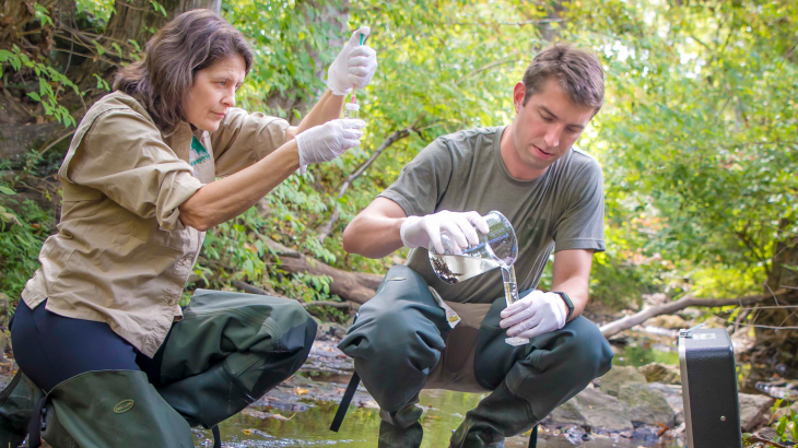
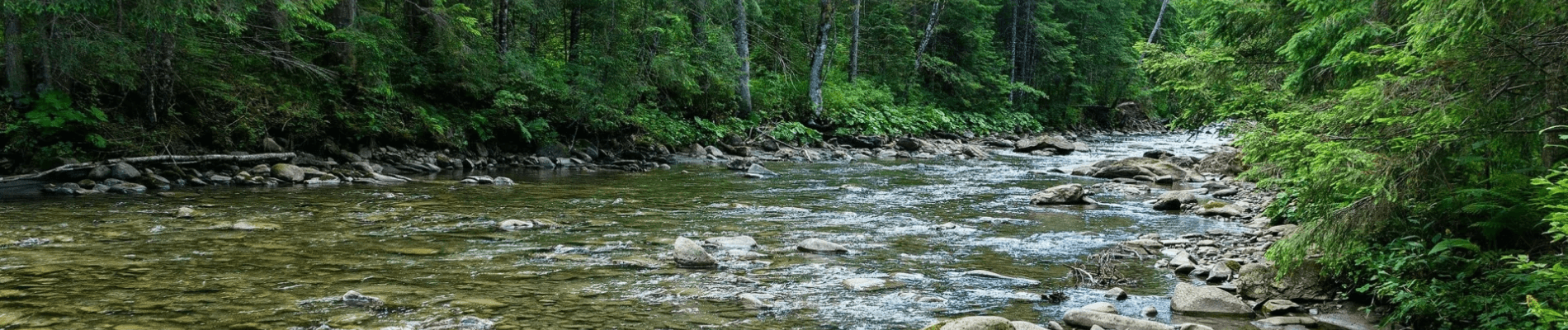
The United States Geological Survey (USGS) provides a daily update of streamflow conditions. Click here to see the current streamflow conditions of Tennessee. This link provides you with the location, gage height, discharge, and long-term median flow of each station at a given date/time.
For additional paddling safety information, see our Paddlecraft Regulations page and/or visit the Tennessee Scenic Rivers Association‘s webpage.
© 2019 Harpeth Conservancy. All rights reserved.